


20230607 Igouldane par le bas

adab
User
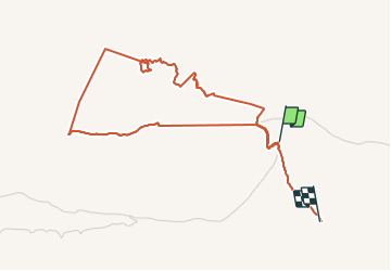

Length
5.9 km

Max alt
2427 m

Uphill gradient
179 m
Km-Effort
8.3 km

Min alt
2304 m

Downhill gradient
181 m
Boucle
No
Creation date :
2023-06-07 08:38:15.0
Updated on :
2023-06-07 16:10:15.842
2h25
Difficulty : Medium

FREE GPS app for hiking
 SityTrail
IGN / Geographical institutes
SityTrail Plus
The world is yours!
About
Trail Walking of 5.9 km to be discovered at Béni Mellal-Khénifra, cercle d'Azilal, Ait Bou Oulli. This trail is proposed by adab.
Positioning
Country:
Morocco
Region :
Béni Mellal-Khénifra
Department/Province :
cercle d'Azilal
Municipality :
Ait Bou Oulli
Location:
Unknown
Start:(Dec)
Start:(UTM)
719821 ; 3500084 (29R) N.
Comments